Complete ICAO Chart Germany (8 Sheets composited, laminated)
This is the official ICAO chart for VFR flights in Germany. It contains important information about topography and air traffic control like streets, railways, rivers, woods, urbanisation, elevation points, obstacles, airfields, air space and lots more. On the backsde you will find legend and more helpful information.
According to the harmonization of European ICAO Charts the colour for the airspace classes C, D, and E has been changed into blue. Further on the identifier MSL (Mean Sea Level) has been omitted, and the identifier GND is replaced by AGL (Above Ground Level).
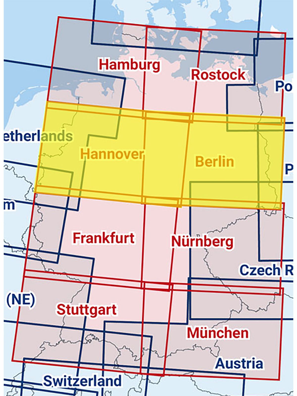
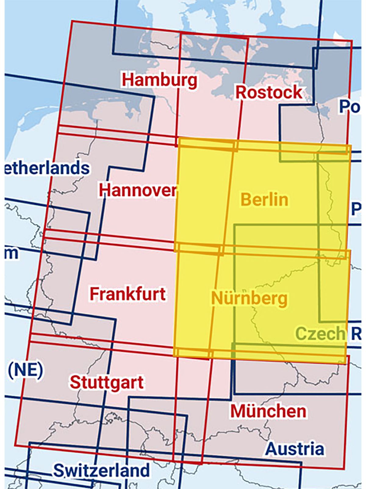
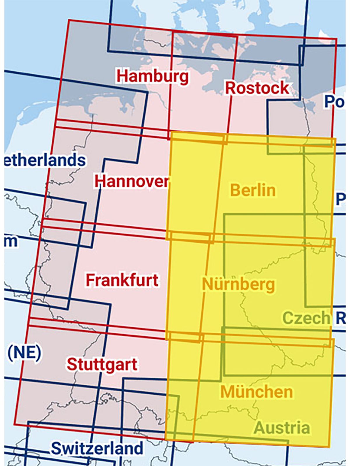
In total the ICAO charts are seperated in 8 sheets - Hamburg, Rostock, Hannover, Berlin, Frankfurt, Nuremberg, Stuttgart and Munich.
Format per chart sheet: 83,5 x 61 cm
Scale: 1:500.000
This chart is: ICAO Chart Germany (all 8 sheets) composited, laminated


