Cookie preferences
This website uses cookies, which are necessary for the technical operation of the website and are always set. Other cookies, which increase the comfort when using this website, are used for direct advertising or to facilitate interaction with other websites and social networks, are only set with your consent.
Prices incl. VAT plus shipping costs
Ready to ship today,
Delivery time appr. 1-3 workdays
- Order number: 5948.4
- Suppliernumber: 978-3-99092-006-0
- Suppliername: Rogers Data GmbH
- Current edition: 2024
- Next edition: 2025
Rogers Data VFR aeronautical charts are made to fly across Europe with an identical chart look.... more
product description
Rogers Data VFR aeronautical charts are made to fly across Europe with an identical chart look. The VFR charts from Rogers Data give you a very detailed description of the respective airspaces. Our highly sophisticated topographic terrain chart with shading and relief creates a dynamic 3D-effect. Also shown are ultralight landing sites, glider airfields, aerial sporting and recreational activities and areas with sensitive fauna, airfields, reporting points, restricted and danger areas, significant points, border crossing points.
This chart is: Belgium & Luxembourg, VFR Chart, 1:500,000, laminated, folded.
Special features for this region:
All Rogers Data VFR charts are designed to the following criteria:
This chart is: Belgium & Luxembourg, VFR Chart, 1:500,000, laminated, folded.
Special features for this region:
- TRAs temporary reserved airspaces
- TSAs temporary segregated areas
- ATZs aerodrome traffic zones
- Windmills and windturbines
- Aerial sporting and recreational activities
- Military exercise and training areas
All Rogers Data VFR charts are designed to the following criteria:
- Aeronautical chart on a scale of 1:500,000
- According to ICAO Annex 4, EU-Commission Regulations, AIP
- Clear representation of the ATS airspace structure
- Detailed highly sophisticated terrain map with shading and relief
- Airports, aerodromes and heliports with additional information
- Radio Navigation Aids with name, frequency and morse code
- Compulsory reporting points, reporting points on request, significant points (border crossing)
- Danger- and restricted areas
- Obstacles or group of obstacles
- Minimum Grid Area Altitude
- Isogonic line model with magnetic variation
Related links to "
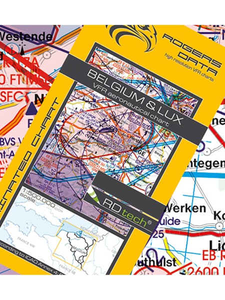
Belgium & Luxembourg - Rogers Data VFR Chart, 1:500,000, laminated, folded"
Viewed