- MODERN PILOT SHOP
ICAO Charts for Glider Flights in Germany
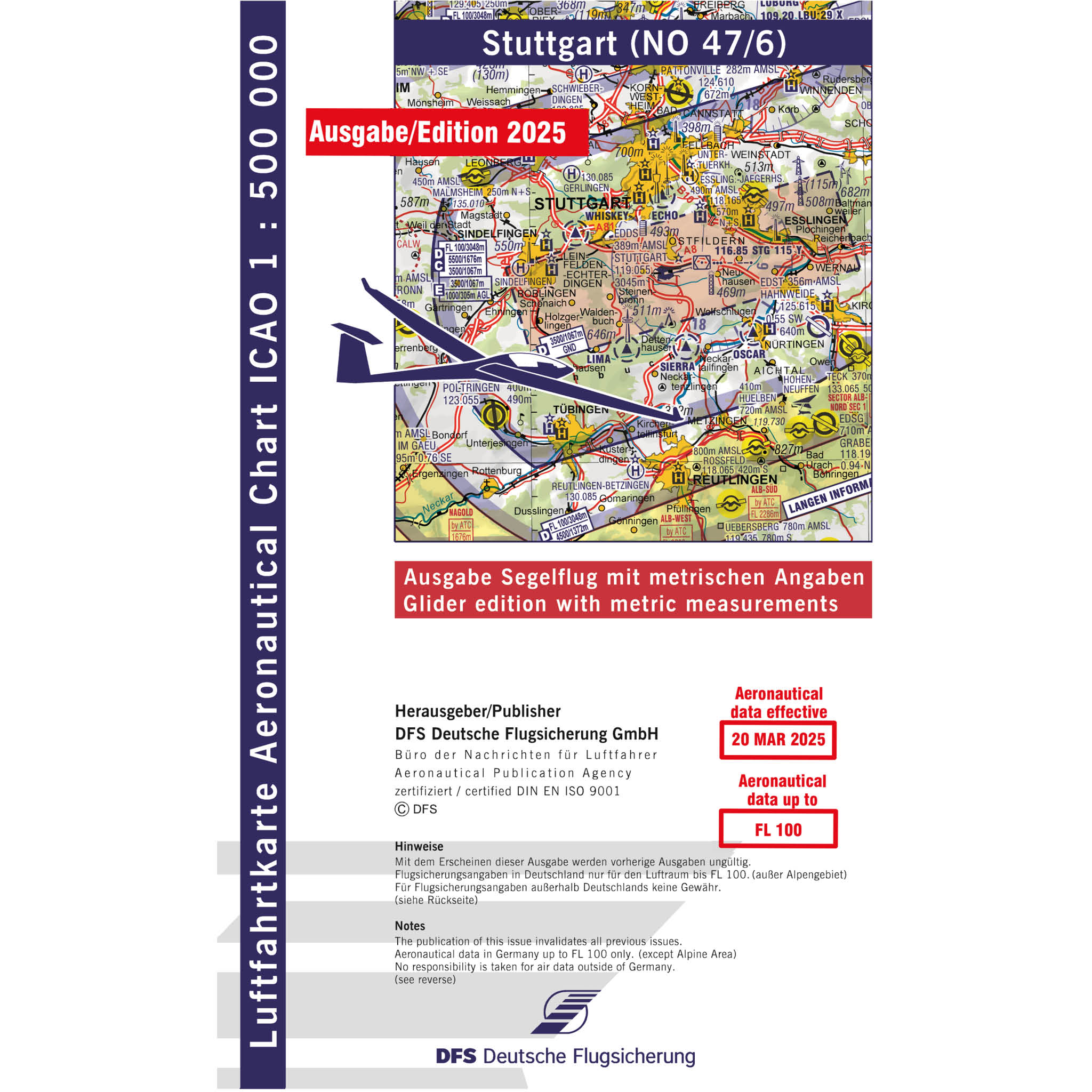
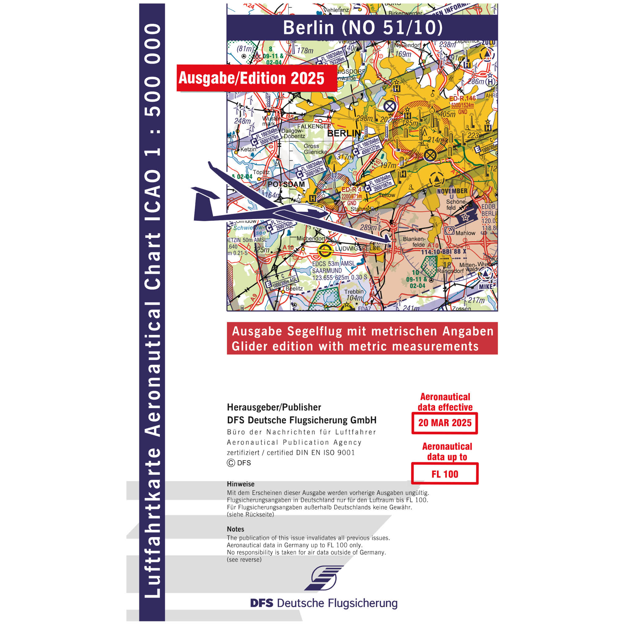
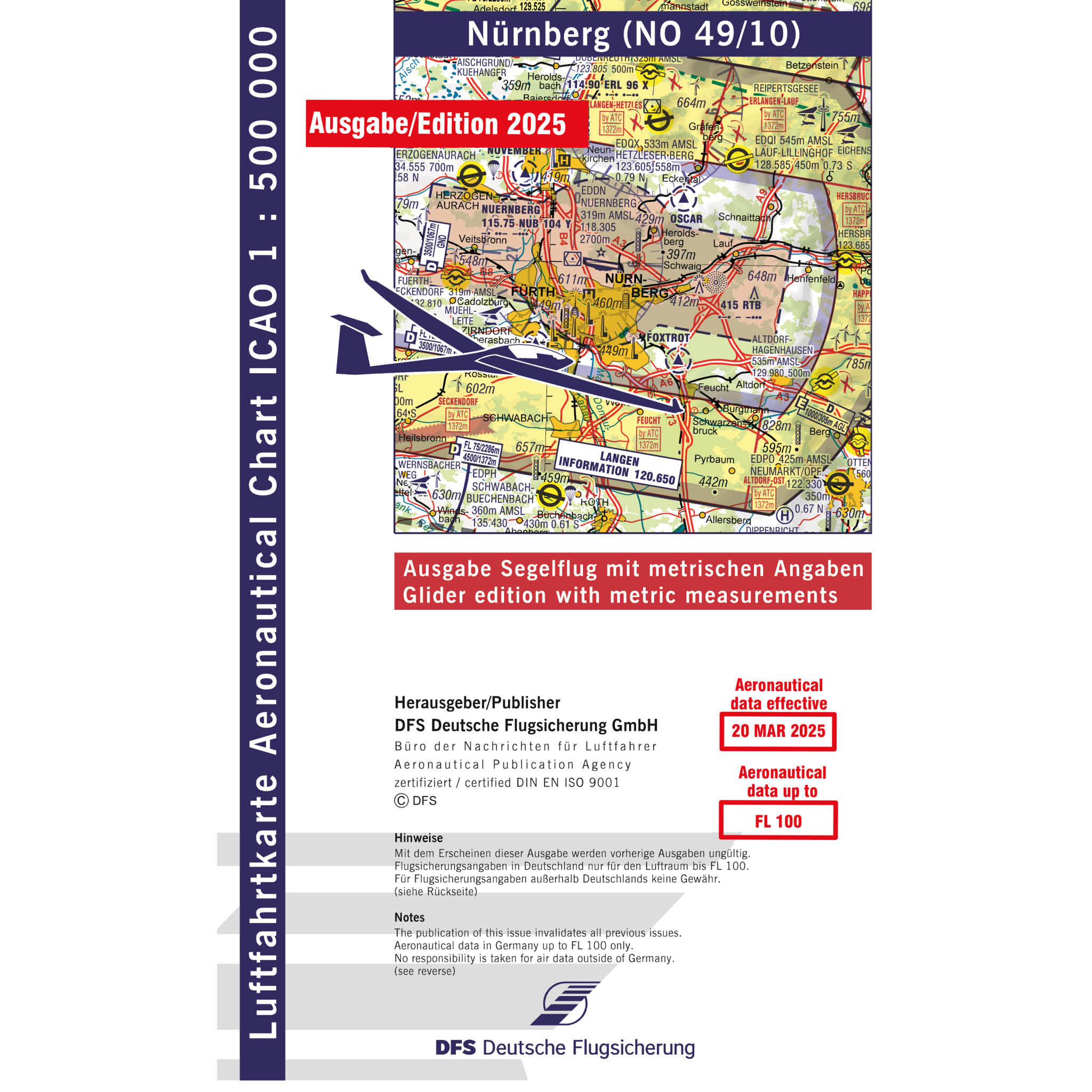
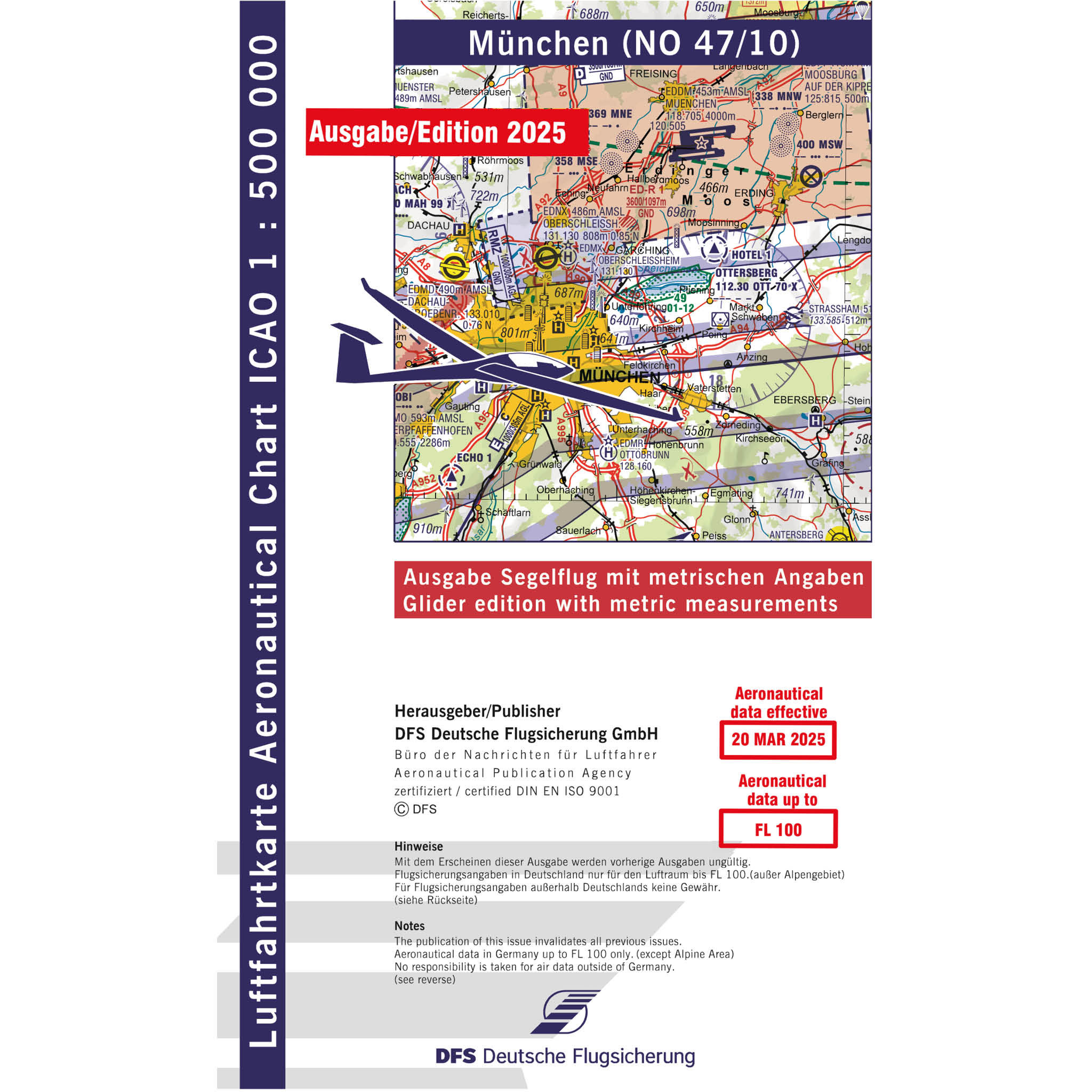
The ICAO charts for glider pilots contain all the essential information needed for orientation. This includes details on airspaces, airfields with a focus on glider sites, terrain elevations, obstacles, and thermal zones.
Additionally, our flight maps support you in safely planning cross-country flights by showing the best routes while taking terrain, airspace, and wind conditions into account.
Order your ICAO chart for glider flights in Germany now!
Filter products
More Aeronautical Charts from Our Range
As specialists in aviation equipment and pilot supplies, we offer a comprehensive selection of high-quality flight charts that simplify your pre-flight planning and ensure safe navigation. In addition to ICAO charts for glider pilots, you'll also find suitable ICAO Germany motor flight charts.
We also offer numerous additional products essential for both visual (VFR) and instrument (IFR) flight operations. For long-distance flights, the clearly structured Air Million VFR charts are especially suitable, while our IFR enroute charts are specifically developed for instrument navigation.
With Rogers Data VFR charts, you are perfectly equipped for your next VFR flight.
All of our charts provide pilots with all relevant information on airspaces, reporting points, airports, and geographical features – everything you need to precisely plan and safely conduct your flight route.


