- MODERN PILOT SHOP
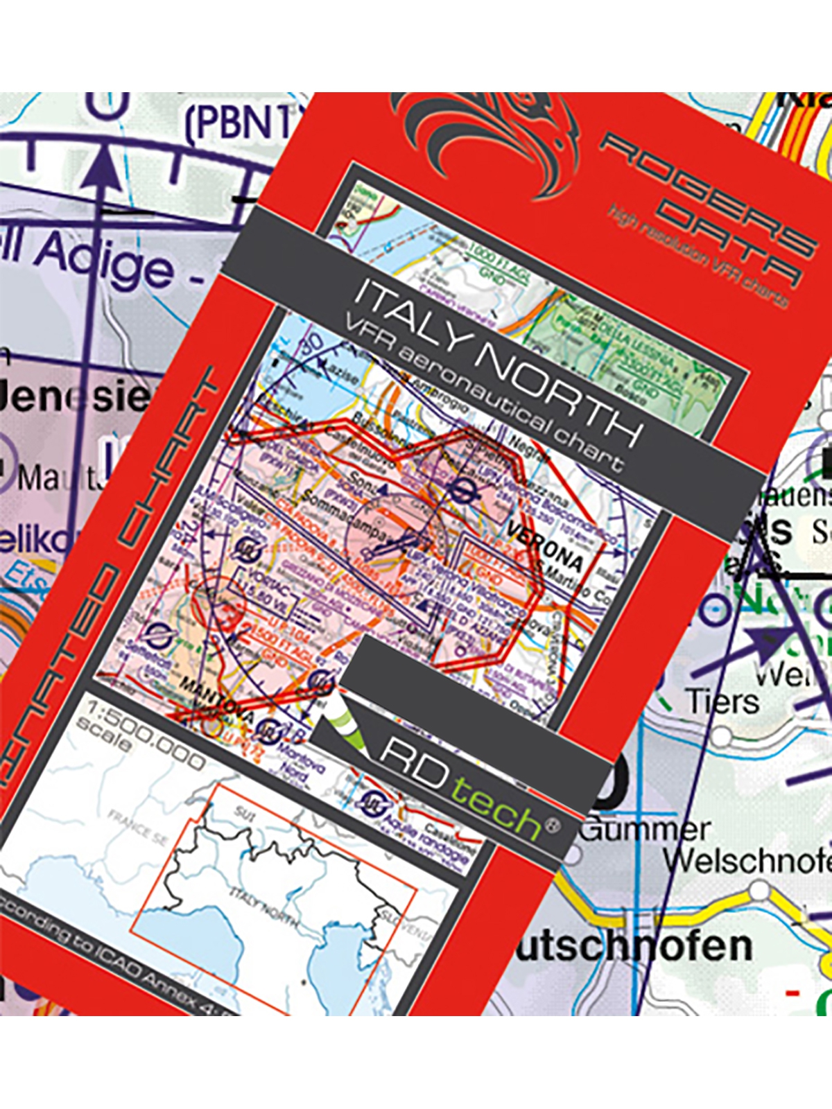
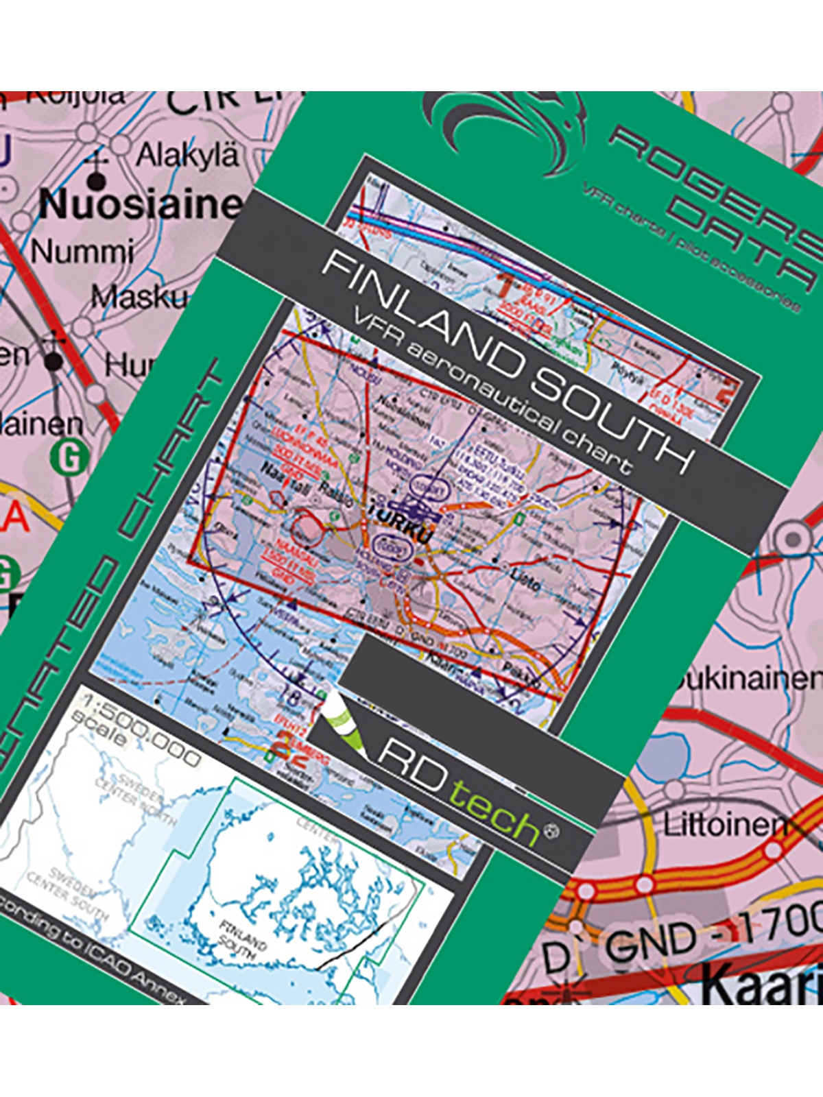
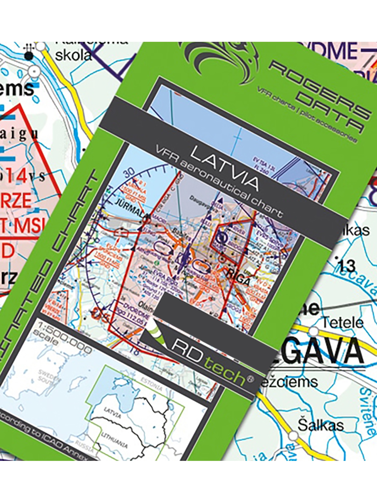
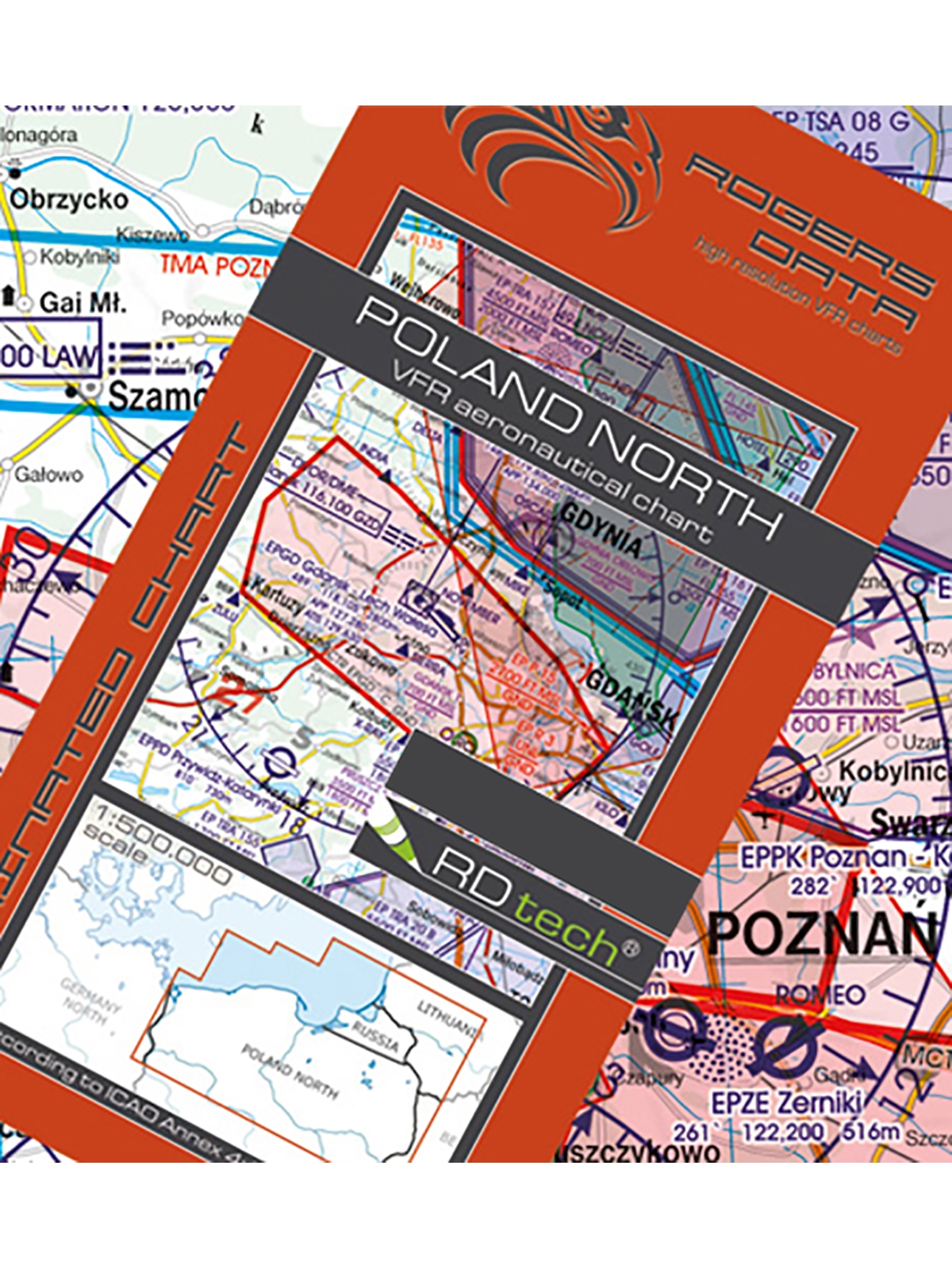
Rogers Data Charts – Precision and Reliability for Flight Planning
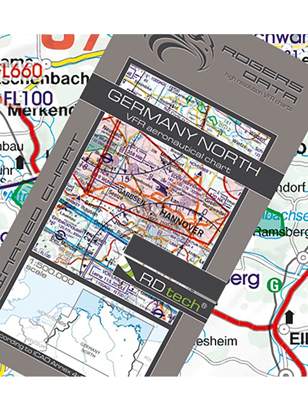
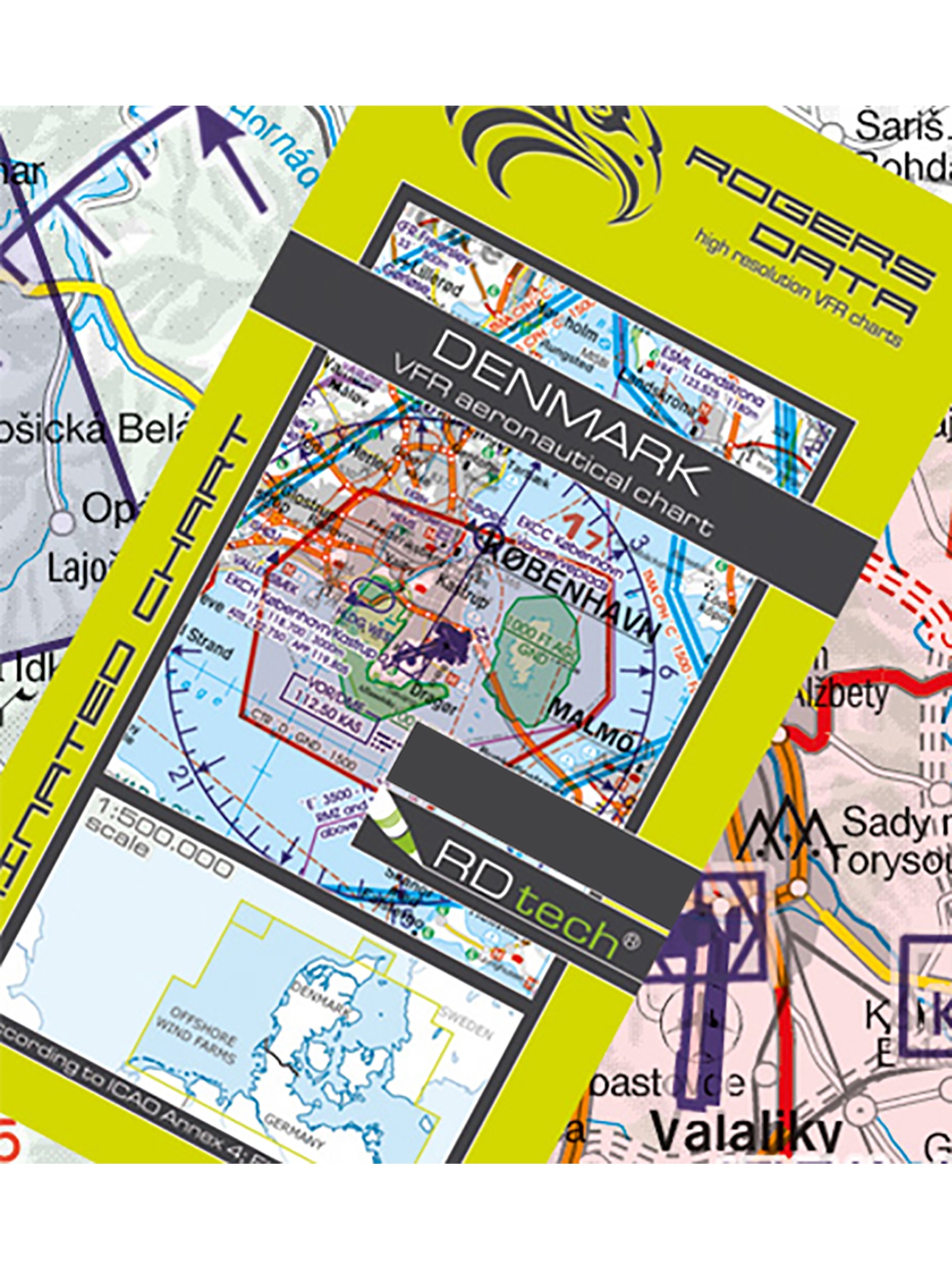
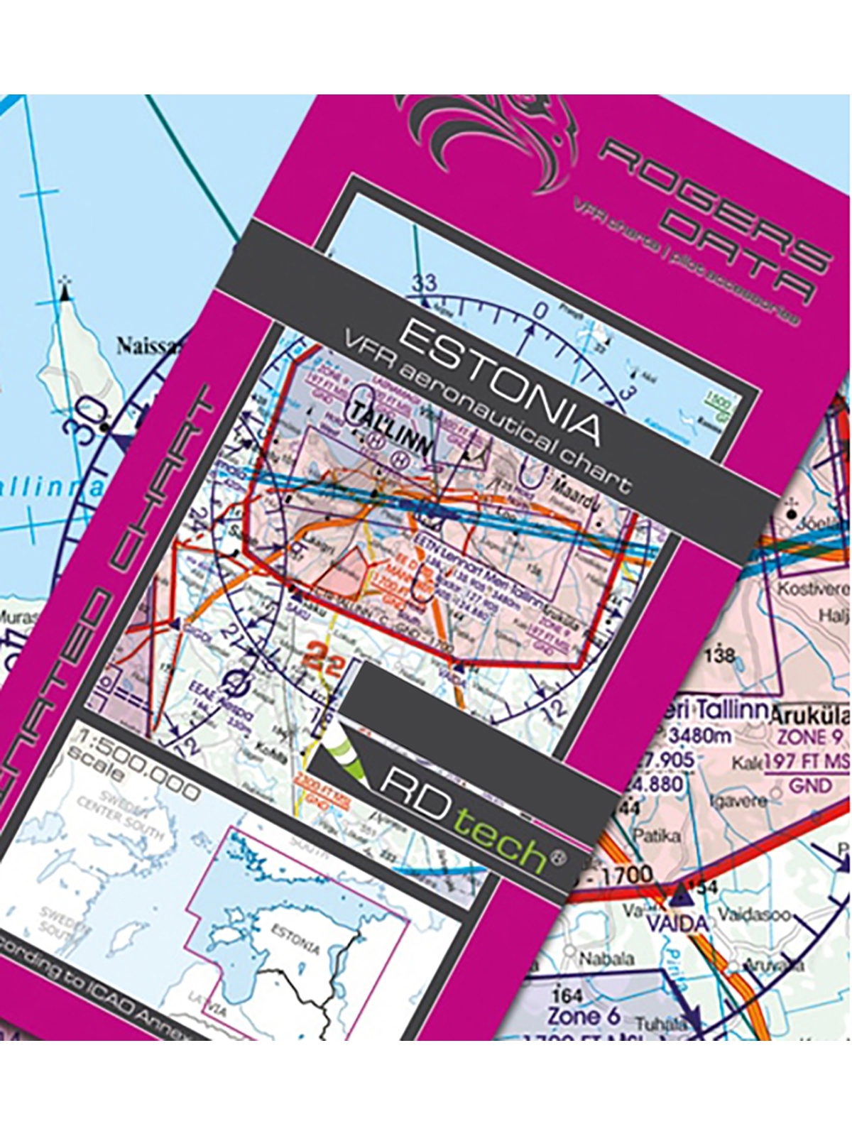
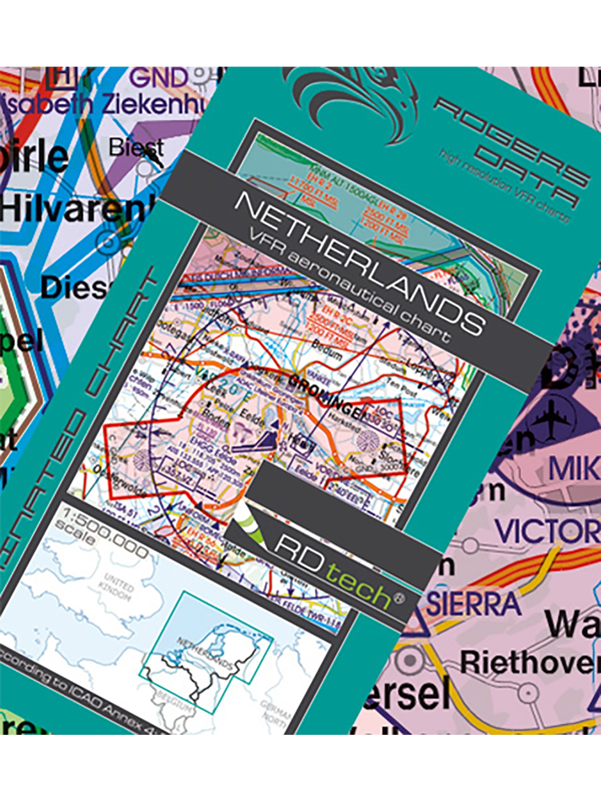
Discover our high-quality Rogers Data charts for Europe. They are based on the latest aeronautical information and are specifically designed for visual flight operations within Europe. The flight maps include detailed navigation data, such as airspaces, obstacles, and radio frequencies.
Information about airports and helicopter landing sites is also included in the Rogers Data charts. In addition, they enable pilots to carry out their flights safely, efficiently, and with precise planning.
Buy Rogers Data charts now!
Quick Order Form Rogers Data ChartsFilter products
Last 30 days: €24.90*
Last 30 days: €24.90*
Last 30 days: €24.90*
- Site
Discover More Charts for Your Flight Planning
We specialize in aviation and pilot supplies. That’s why, in addition to our premium Rogers Data aeronautical charts, you'll find other valuable tools to support a safe and successful VFR flight.
Our chart collection includes ICAO Germany motor flight charts as well as ICAO Germany glider charts with essential navigation information.
You'll also find clear and comprehensive Air Million VFR charts, perfect for long-distance flights, as well as our IFR enroute charts designed specifically for instrument navigation.
In addition to our current pilot calendars and flight maps, we also offer a wide range of pilot gear and planning tools. These practical aids provide crucial information on airspaces, navigation points, airports, and topographical details—ensuring safe and successful visual flights.


